Common Functionality
Laser
: BubbleView™
BubbleView™
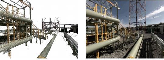
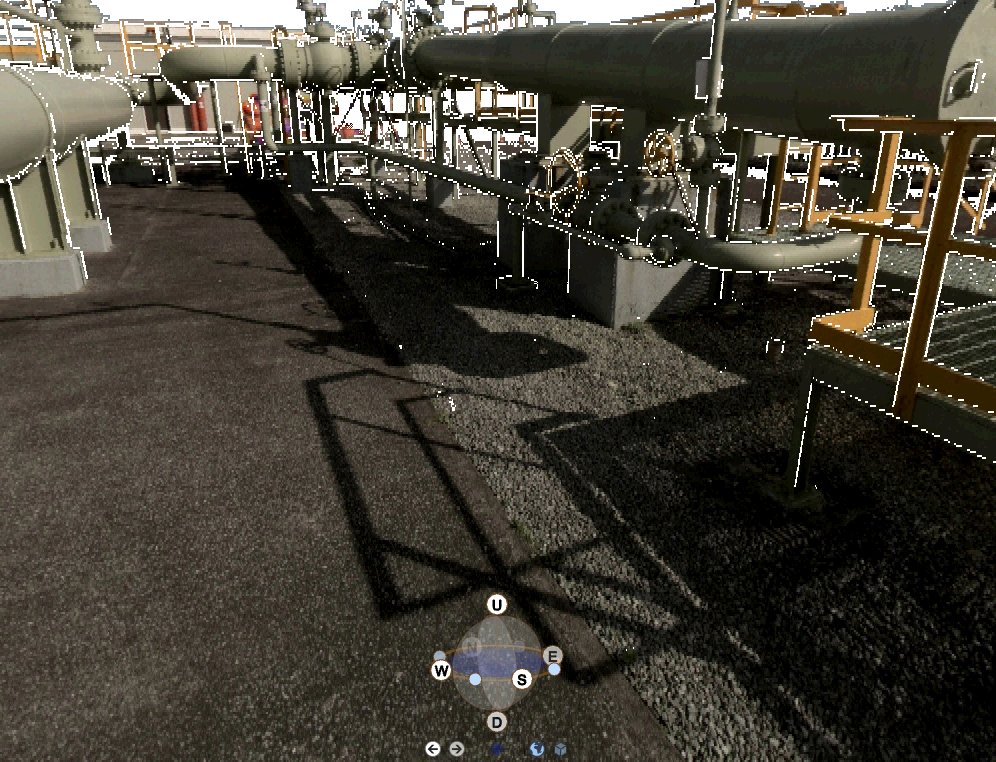
Within the 3D view there is a control that allows you to navigate to specific points within the laser survey data. This control switches the view from the standard AVEVA flight controls to viewing the design and laser data as a photo realistic BubbleView™ from a fixed eye position. A BubbleView™ is a photorealistic rendering that displays the view from the scanner each time it was used. A BubbleView™ is a natural and intuitive way of looking at laser survey data. It allows AVEVA E3D™ model data to be interactively mixed into the view whilst allowing you to rotate, zoom and take precise 3D measurements.
In the example you are switched to the BubbleView™ and the camera is stationary, the model orbits about the camera.
Pick a Point
Creates a BubbleView™ from a picked position in the laser model. The photographic view is generated from the survey position closest to the picked position.
You are prompted to
Select location to view in bubble:
Click to identify the BubbleView™ position using a cursor pick in the 3D view. The BubbleView™ displays in the 3D view.
Open BubbleView™
Creates a BubbleView™ from a list of available survey positions in the laser model. The photographic view is generated from the picked survey position.
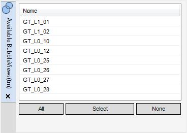
The
Available BubbleViews™
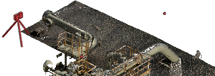
window lists the available survey positions for the laser model. By default, each survey position displays in the 3D view as a red spherical AID graphic.
You can select a survey position from the list of survey positions. When a survey position is selected, it displays as a tripod in the 3D view.
All
Click to select all survey positions in the list of survey positions.
Select
Click to create a BubbleView™ from a survey position using a cursor pick in the 3D view or current BubbleView™.
You are prompted to
Select Pick element:
Click to identify a red spherical AID graphic using a cursor pick in the 3D view or current BubbleView™. The BubbleView™ replaces the 3D view.
None
Click to deselect all survey positions in the list of survey positions.
To create a BubbleView™ from the currently selected survey position, or modify the display list of survey positions, right-click the currently selected survey position to display a drop-down menu.
Goto
Click to create a BubbleView™ from the currently selected survey position. The BubbleView™ replaces the 3D view.
Show scan locations
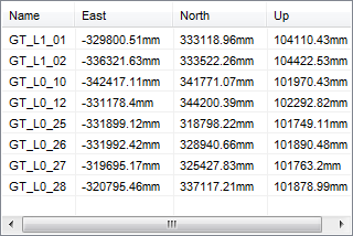
Click to display the location coordinates of each survey position in the list of survey positions.
Repeat the command to remove the location coordinates of each survey position from the list of survey positions.
Close BubbleView™
Closes the BubbleView™, you are returned to the location in the 3D view before the BubbleView™ was entered.
Optimise Contrast
Cycles through a number of contrast values applied to the laser data, this can aid the display of laser data in some situations.
1974 to current year.
AVEVA Solutions Limited and its subsidiaries. All rights reserved.